Ben Lomond Loop - an 80 mile MTB route starting and finishing in north Glasgow.
With a rebuilt bike, a full day free at the weekend and a multi-day event coming up, I needed to do a long training ride from my home in Glasgow. This was the ride. 80 miles in total.
Posted: Tue 04 Jul, 2017, 10:56
The Route
The route starts out following the West Highland Way (WHW) from it's start at Milngavie, all the way to Inversnaid. From there it cuts east across to Stronachlacher and around Loch Katrine, followed by a quick climb over the Duke's Pass to Aberfoyle. It then follows the forest trails over to Drymen before rejoining the WHW all the way back to Milngavie. The trails on the zoomable map below load a bit slowly due to the accuracy of the tracks (i.e. a lot of data) produced by my new GPS device, so please be patient.
Terrain
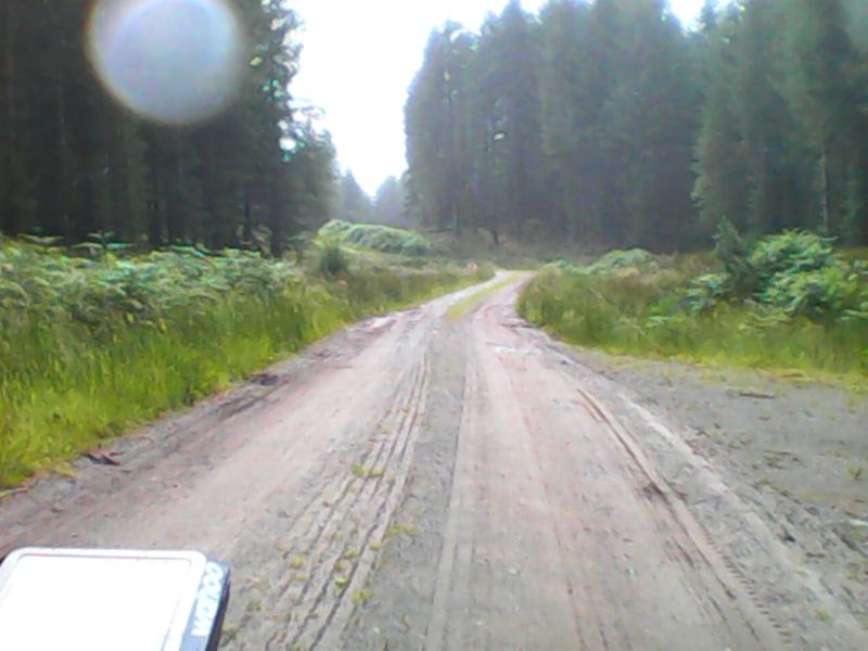
Milngavie to Balmaha is excellent biking terrain, mostly over wide footpaths along the very well-trodden West Highland Way. The drop down from Carbeth towards Dumgoyne is fast and bumpy enough to make you pause for thought as you bounce over some of the rockier stuff at speed. There are unfortunately a lot of gates to go through on the flat stretch until Drymen. It's then onto road for a bit until you start the climb up to Conic Hill which is a mixture of forest trail and good footpaths. Conic Hill has some steps on the way up and and down so it's hike-a-bike for a bit, but it rideable for much of the way up and down. It was really good to go down actually, very steep and technical at points.
On the bonnie banks of Loch Lomond, I foolishly followed the proper WHW path rather than take the trail that follows nearby. I would definitely follow the trail next time, because the footpath goes up, down and roundabout a very tortuous route sticking close to the water's edge. Great for walking, but terrible on a bike. I lost over and hour here I think and my average miles per hour were ridiculously low.
From Inversnaid I followed the road to Stronachlacher, however I have since discovered there is a parallel old military road which I would probably try next time, as this would make the route even more off-road. From Stronachlachar it is a single track road with virtually no traffic all the way around Loch Katrine. As I was riding, I notice an excellent trail winding through on the other side, but the people in the cafe at Stronachlacher said it stopped dead after a few miles. And it did. After a certain point there was no sign of it, so it has to be the road here.
I followed the steep and windy road over the Duke's Pass to Aberfoyle, which ends with a great zed-bend descent which made all the climbing worthwhile. It was then onto forest trails towards Drymen and road again for a short while until it met the WHW again.
Overall slightly more road than I would have liked, but apart from the Duke's Pass, the roads are extremely quiet.
Water
The event I plan to take part in during August will require me to carry plenty of water as it will be hot and away from civilisation for long stretches. Although it's easy to pick up water on most routes in Scotland, thanks to our plentiful rainfall, I wanted my bike setup and weight to be as similar as possible to what it would be. I already had two water bottle holders so fitted a third. All that money spent on a titanium frame to save 1 kilogram was almost gone again with 3 full water bottles. However this was quickly reduced to two. At some point very early on the ride I lost my lower water bottle. Annoying, but glad I found out here and know I need some kind of strap to hold it in place.
Navigation
When doing the Cairngorm Loop I was frequently lost due to having a GPS device that just was not good enough. So with the prospect of a multi-day ride through unfamiliar country, I certainly had to address this problem. I began by buying a Garmin eTrex 30. It take takes normal batteries which is good for out on the trail and seemed to be the de-facto choice for bikepacking from all the pictures I had seen and from my fellow riders on the Cairngorm Loop. However I was pretty disappointed with it. The LCD screen and interface made me feel I was using something from the 2000's. With Garmin moving towards a new series of touchscreen equivalents, I also tried the Garmin Touch 35. However it crashed more than once. I also realised I had no real need for the touchscreen and it was just trying to be too many things. With a mode for Hunting, Geocaching and Fishing (to name a few!) this device is trying to be all things to all people, and is not a good cycle computer.
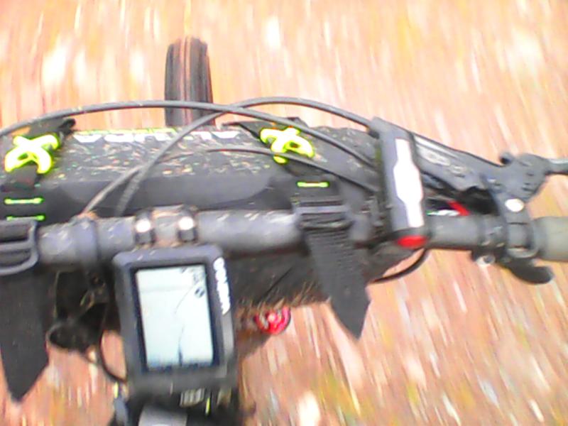
But Garmin are the best, what was I supposed to use? Enter the Wahoo Elemnt. It is a-maz-ing. It has a simple monochrome display, all maps built in and an excellent app for configuration and loading of routes etc. I was already impressed with it and it worked great out on this ride. I had loaded a specific GPX route to take me from Aberfoyle to Drymen but realised that it was the wrong way around. No problem, the Wahoo has a reverse option to flip it around before you start it. Very nice. To coolest thing is you get all the data you need on screen but on the map screen you just see your speed and a very clear, zoomable map of where you are. Even though it supposedly a road device, it knew about all the trails and paths I was on. There are side LEDs that show your heart-rate zone and can also tell you if you as off-track.
Suffice to say I think Garmin have lost their way (no pun intended). I haven't even mentioned the endless problems I have with Garmin Connect, they alone would have been a reason to look elsewhere.
